What We Offer?
We provide services of precision farming, remote sensing and geographic information services (GIS) and are ready to consider the possibility of providing individual services not listed on the site.
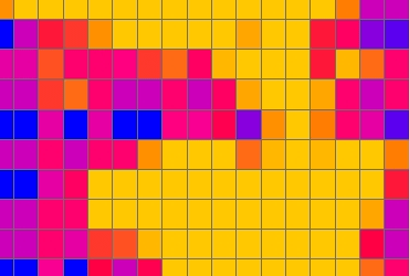
GIS services
A wide range of GIS solutions.
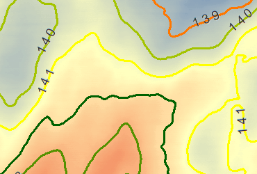
Digital Elevation Model (DEM)
A Digital Elevation Model (DEM) is a specialized database that represents the relief of a surface between points of known elevation. By interpolating known elevation data from sources such as ground surveys and photogrammetric data capture, a rectangular digital elevation model grid can be created.
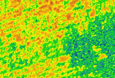
Vegetation Indices (VI)
Vegetation Indices are combinations of surface reflectance at two or more wavelengths designed to highlight a particular property of vegetation. They are derived using the reflectance properties of vegetation.
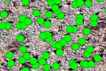
Object Detection
With machine learning, we can teach algorithms to detect something we care about (e.g., leaf, soil, and pumpkin), classify it, and localize it in space.

Digital Soil Mapping (DSM)
Digital soil mapping is a viable alternative to traditional mapping methods due to being fast and cost-effective. It based on the capability of the vegetation features and spectral indices as auxiliary variables in digital soil mapping models.
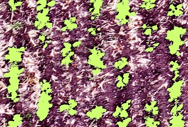
Vegetative Fraction
The establishment and maintenance of a strong crop canopy is a key driver of high yields. The vegetative fraction analysis estimates canopy cover as a percentage of the total plot area by isolating green pixels from high resolution images. The vegetative fraction can be used as a snapshot or analyzed in a series for rate of canopy closure.
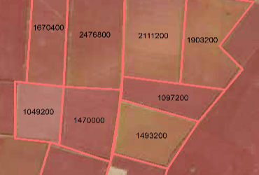
Field Measurment
The most accurate data on the areas of your fields for managing a land bank and optimizing budgets.
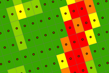
Weeds Detection
Weed management presupposes the careful monitoring and mapping of weed infestation areas. Cut-edge sensor technologies coupled with geographical information systems (GIS) provide the means for reliable decision-making concerning weed management.
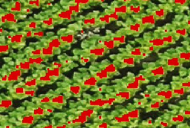
Flowering Detection
Monitoring flower development can provide useful information for production management, estimating yield and selecting specific genotypes of crops.
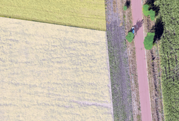
Image Classification
Image classification refers to the task of extracting information classes from a multiband raster image. The resulting raster from image classification can be used to create thematic maps.
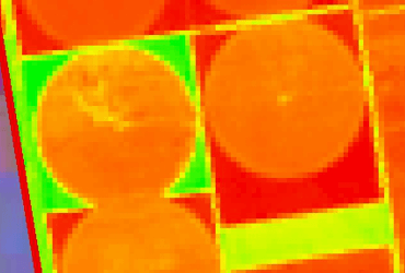
Retrospective Analysis
The retrospective analysis is the method used for obtaining information about the area in the past. This analysis allows you to identify any changes in the qualitative and quantitative aspect in certain time periods, which can be set depending on the survey subjects. The retrospective analysis is used in the study of the current state of territories to assess the dynamics of their development.
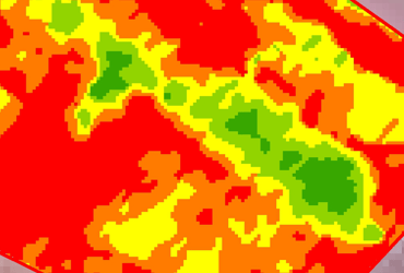
Variable Rate Nitrogen
Nitrogen has a larger effect on crop growth, yield and quality than any other nutrient. Whilst increasing nitrogen application can boost yields up to a point, using too much nitrogen is financially wasteful as it leads to an increase in problems such as lodging and disease which will ultimately reduce yield. Excessive use of nitrogen can also increase the risk of nutrients leaching from the soil.
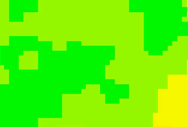
Yield potential
Crop yield estimation is of great importance to food security. Normalized Difference Vegetation Index (NDVI), as an effective crop monitoring tool, is extensively used in crop yield estimation.
Why Choose Us?
We are a team of specialists with many years of experience in using modern technologies in agriculture.

Excellent Service
A flexible approach to each client from an individual order to an agricultural holding.

Expertise
10 years of experience in implementing remote sensing data in the system of technological decision-making in agricultural holdings.

Scientific approach
The use of modern scientific achievements in everyday work

Сonclusion
We give a comprehensive conclusion on the basis of the data.
How We Work
We are open to new challenges and are ready to consider the possibility of providing individual services not listed on the site. Please feel free to contact us if you need any further information.

01. Contact Us

02. Place an Order

03. Make a Payment

