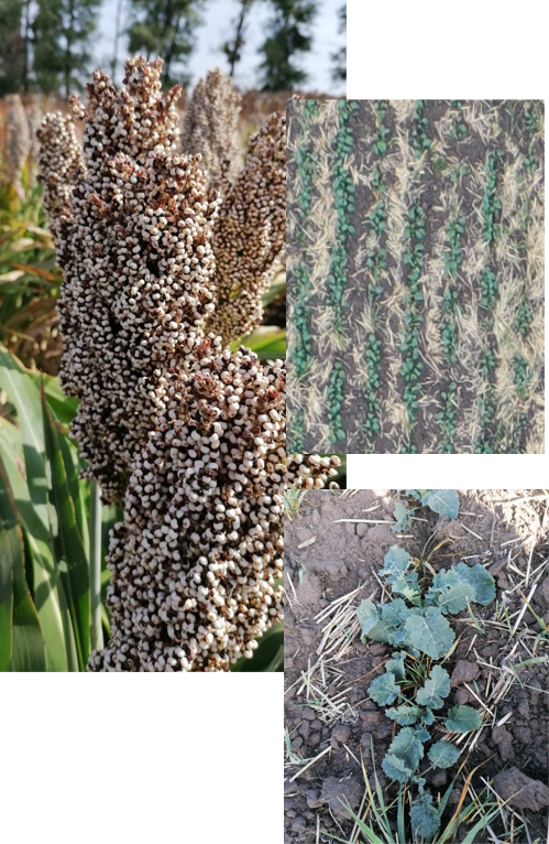
We pay great attention to the practical application and implementation of precision farming in agriculture.
We conduct ongoing research in the field of remote sensing of the Earth and geographic information technologies. We cooperate with specialized specialists and institutes.

Our advantage
For more than 10 years, we have been applying and studying innovative methods for diagnosing the state of fields and crops. Unlike many companies, we are physically present in the fields. Our customers receive not only the conclusion but the recommendations that have practical value.
fffffff7310
Satellite remote sensing
Hectare processed by satellite image
fffffff905
UAV remote sensing
Hectare processed by UAV image
fffffff126
Fields
Fields and trial fields which data were processed
fffffff19
Companies
Number of companies that used our services
